4K Photos
High resolution for sharp detail. Ideal for real estate portals, billboards, and print.
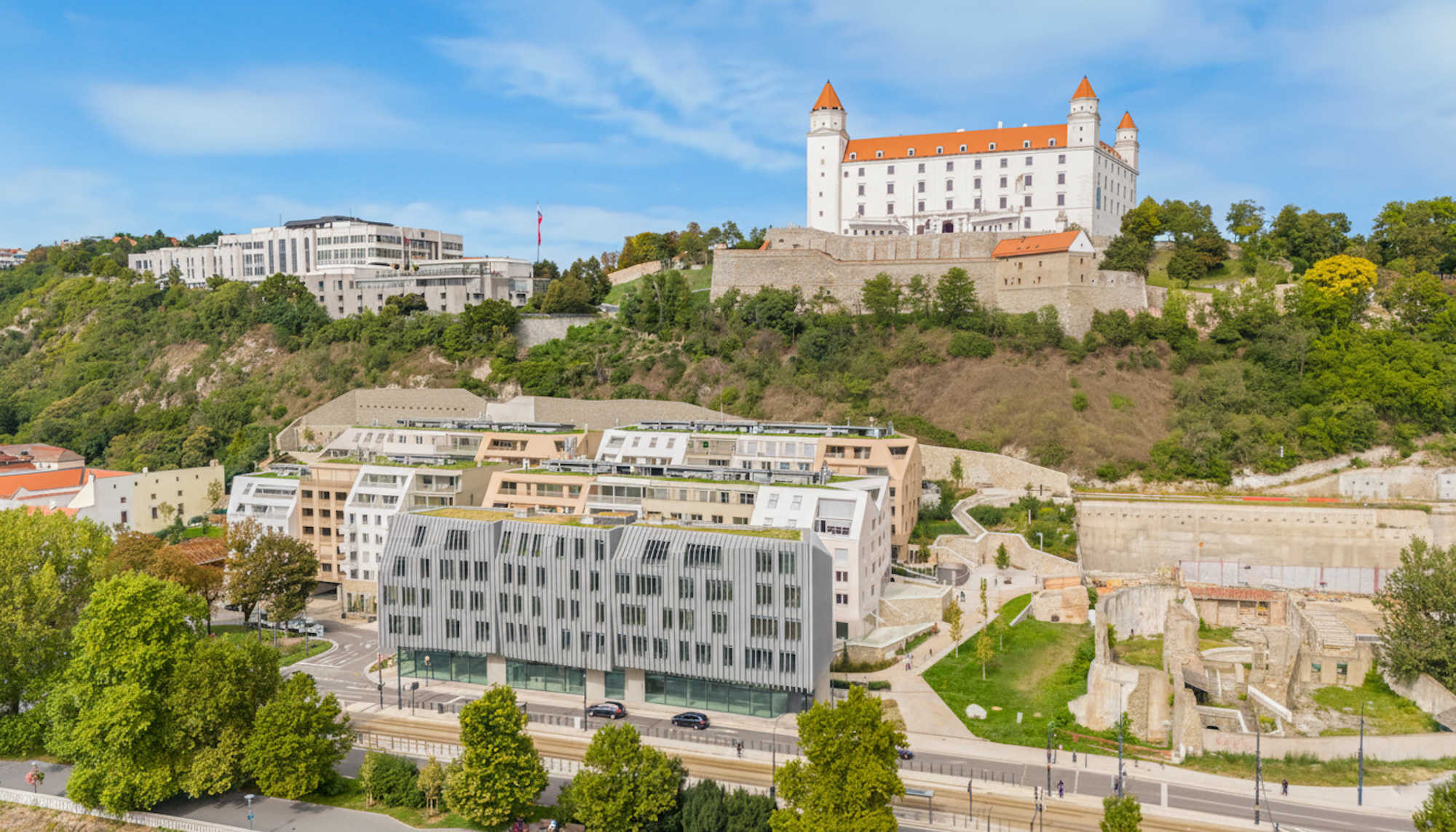
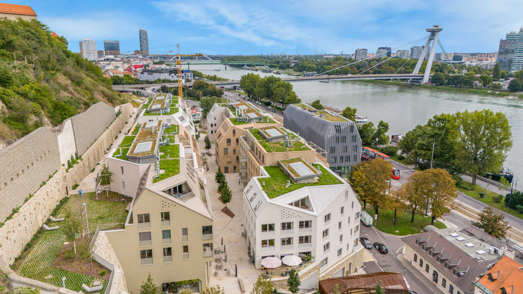
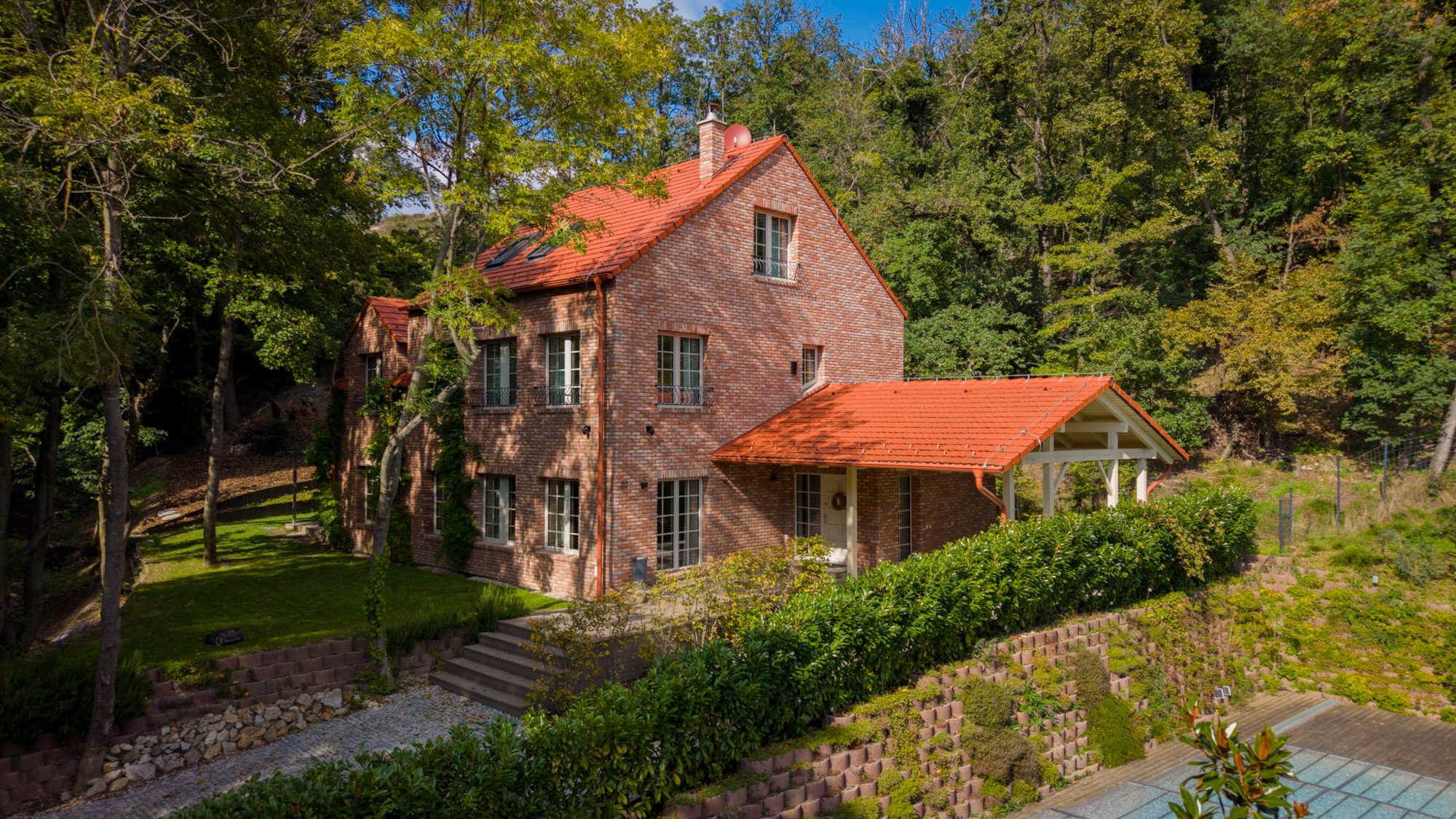
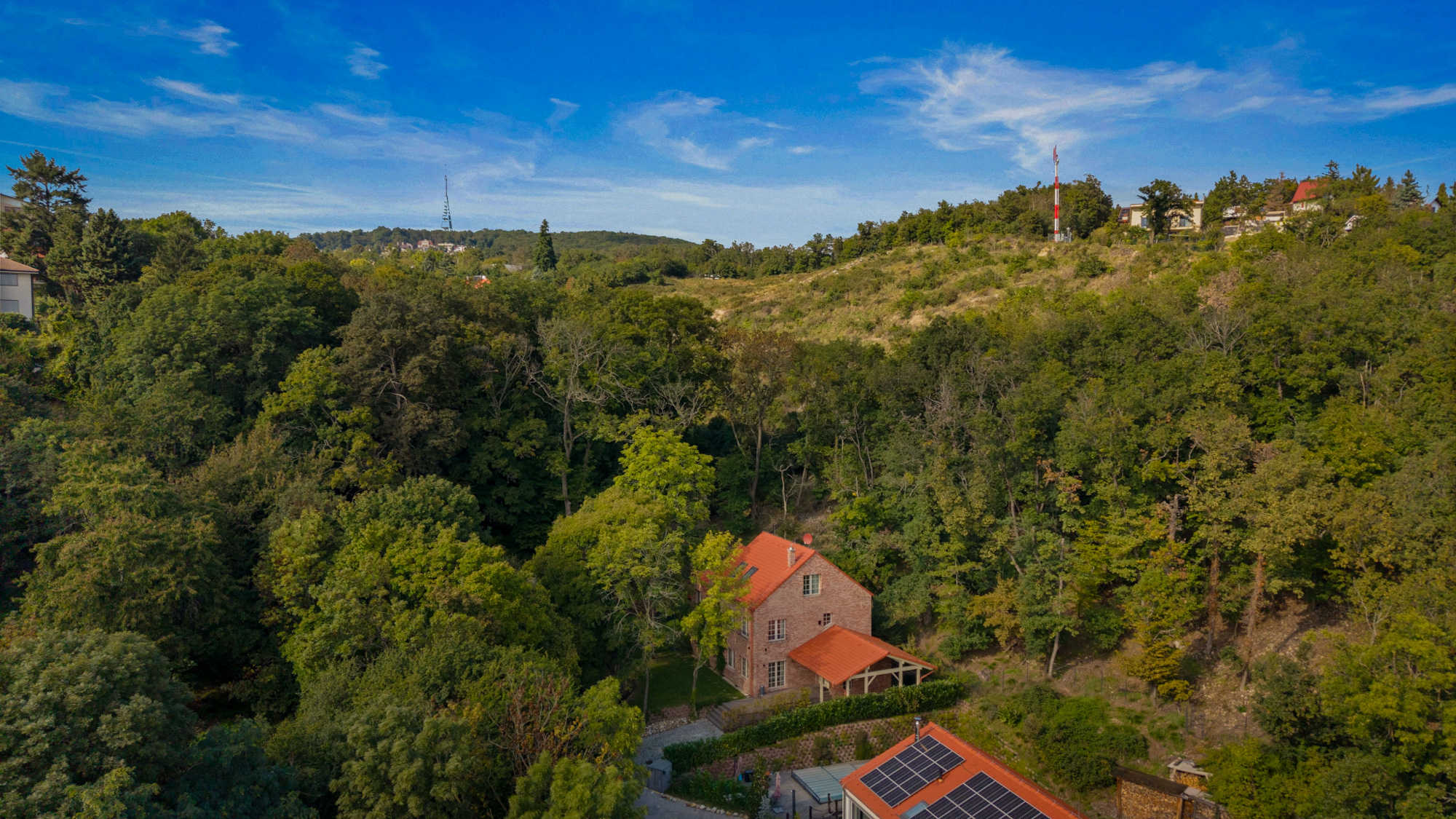
Show your property and surroundings from bird's eye perspective. 4K photos and video for maximum impact.
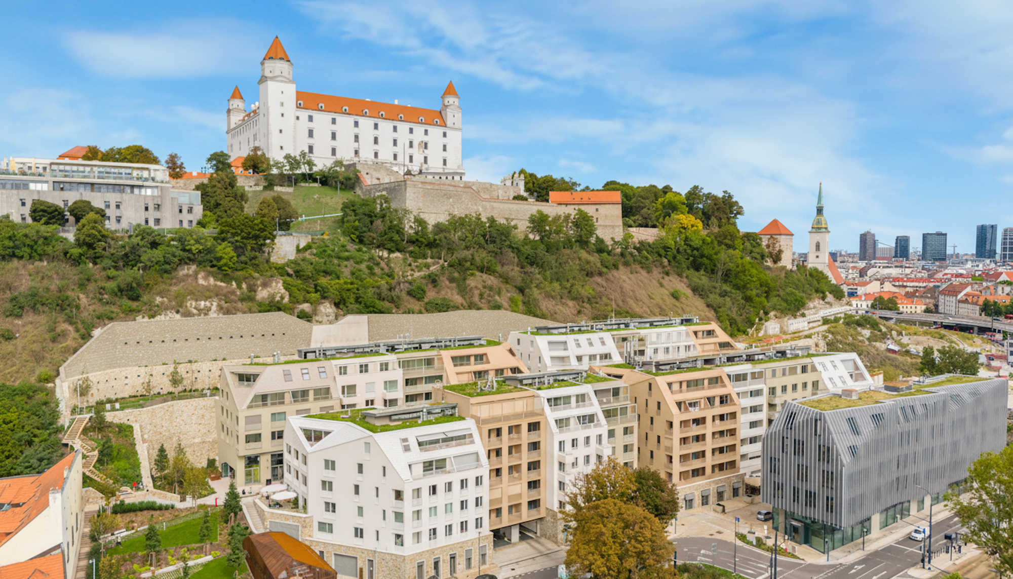
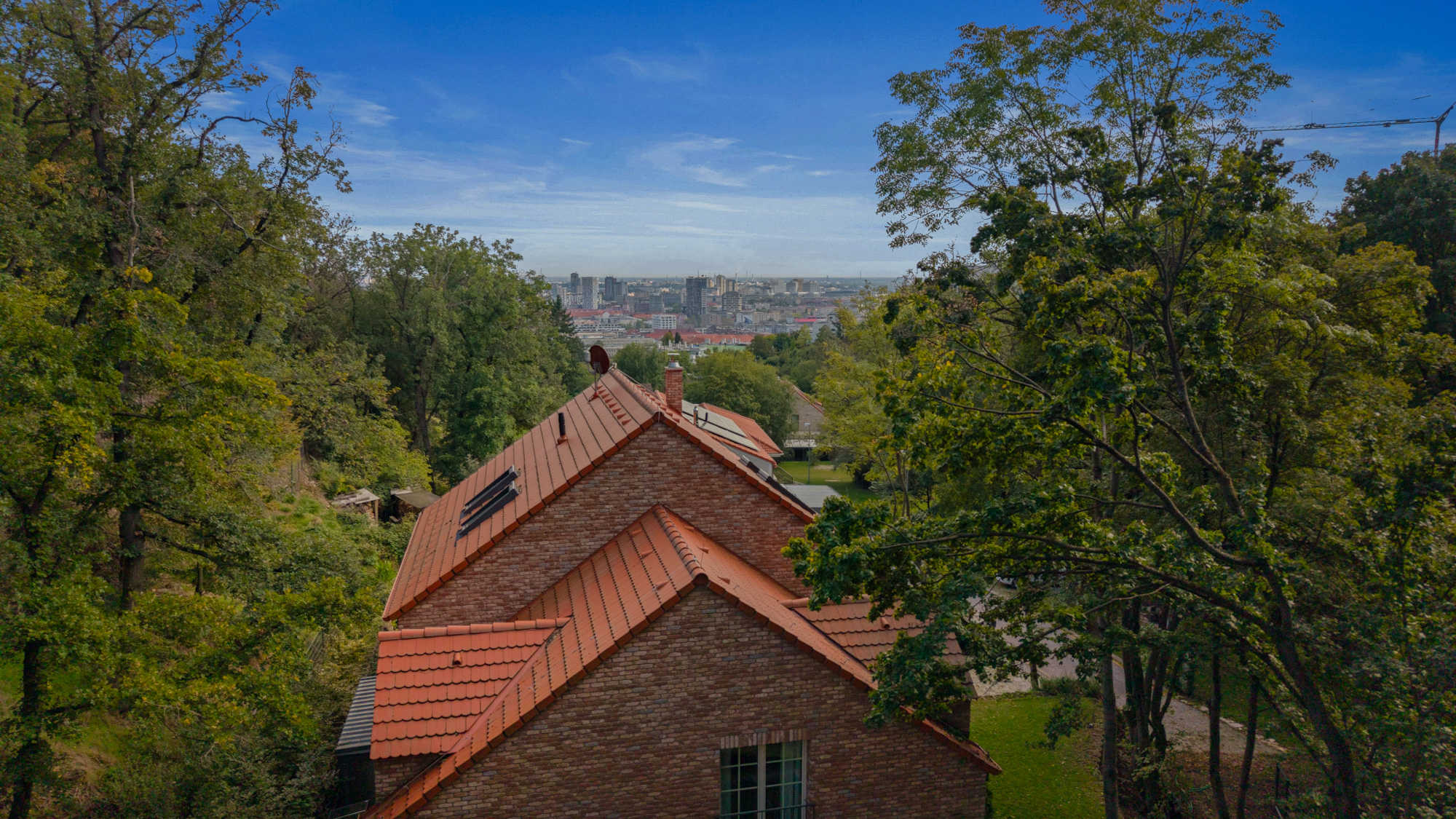
Aerial footage provides a unique view of the property and its surroundings. Buyers see not only the house, but also the garden, neighborhood, access to services, and the overall context of the location.
We use professional DJI drones with 4K cameras and gimbal stabilization. The result is sharp, stable footage even in windy conditions.
Certified Pilot — All flights are conducted in compliance with Slovak Transport Authority and EU drone regulations.
Complete aerial visualization solution
High resolution for sharp detail. Ideal for real estate portals, billboards, and print.
Smooth cinematic footage. Orbit around the house, flyover the garden, reveal shots.
Footage at sunset for dramatic effect. Your property in the best light.
Orthophotos and 3D terrain models for developers and architects.
Regular documentation of construction progress. Monthly or weekly shots.
A1/A3 certified pilot. Liability insurance. Compliance with all regulations.
Photo, video, or combination
Aerial photos only
Professional video
Photo + Video
We find out what you need. We check flight restrictions in the given location.
We schedule a date with weather in mind. Sunny days with light wind are optimal.
We spend 30-60 minutes on site. We capture multiple shots from different heights and angles.
We select the best shots, color correct, edit video, and deliver the final material.
Aerial footage adds a completely new dimension to your presentation. Order professional drone services.
Order DroneNot everywhere. There are restricted zones (airports, military facilities, national parks). Before each flight, we verify if the location is permitted. If not, we help obtain an exception or suggest an alternative.
Rain, fog, or strong wind (over 10 m/s) prevent safe flight. In such cases, we reschedule at no charge. We monitor the forecast and contact you in advance.
The legal limit is 120 meters above ground. For most real estate shots, 30-80 meters is sufficient — this provides an ideal balance of property detail and surrounding context.
If you're the owner or have the owner's consent, no special permission is needed. We handle permits — for flights in controlled zones.
DJI Mavic 3 Pro with Hasselblad camera. 4K/60fps video, 20MP photos, 3-axis gimbal for maximum image stability.